Utilities
Setting the record straight
Get access to the latest and best location data for your buried assets.
Get access to the latest and best location data for your buried assets.
A constantly changing landscape above and below ground means changes to relative and absolute positions are happening all the time, but you don't have the time or resources to keep track of it all.
Every day, all over the country, highly skilled and professional utility survey practitioners are accurately detecting and capturing the locations of your buried assets. Wouldn't it be great if you could get access to this constantly updated and high-accuracy data?

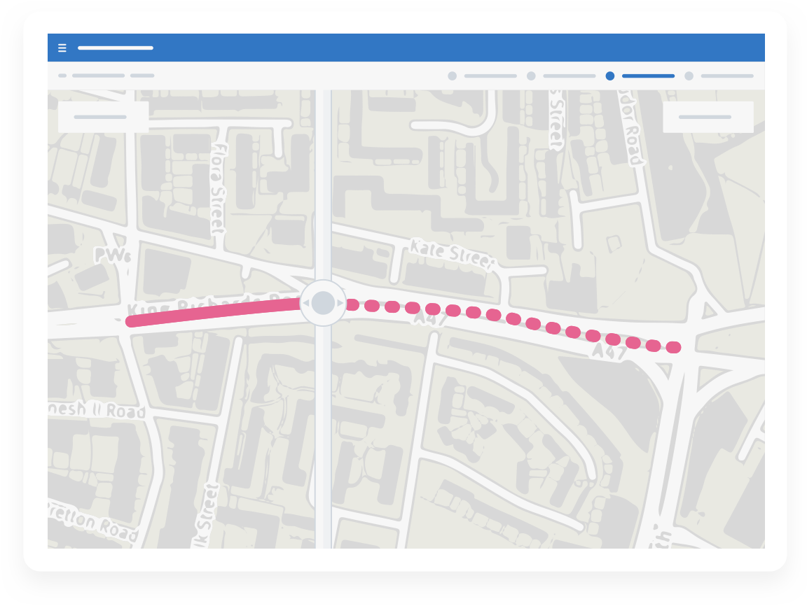
The picture above and below ground is constantly changing. What chance have you got of keeping an up to date record of the positions of your assets? Incomplete or inaccurate as-laid records can increase the risk of expensive third party damage to your assets.
We are on a journey from relative to absolute positioning in order to get the most from the latest location technology, for your workforce and third parties. If most of your asset positions are recorded relative to above-ground features, how do you embark on that journey?


Third parties are uncovering your assets every day, and no doubt finding discrepancies with your as-laid records. How can you get your hands on that useful information in order to improve your data?
Progressively improve the quality of your as-laid asset data and reduce a major cause of third party damage
Begin your transition to high accuracy capture of absolute asset position
Gain the benefits of investment and innovation in the surveying arena without the need for direct investment in non-core business areas
Demonstrate to the regulator your commitment to data quality in support of safer working and improved customer service